
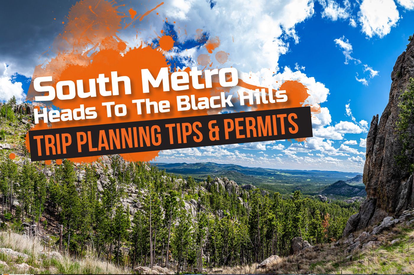
Black Hills Adventure
There are 1.2 million beautiful acres of the Black Hills National Forest in western South Dakota.
Off-road enthusiasts can access and enjoy many thousands of those acres by using the Black Hills National Forest Motorized Trail System, consisting of over 3,600 miles of roads and over 600 miles of trails for ATV and ORV users.
ATV trail riding in the Black Hills of South Dakota provides unbelievable sights seen in few other places in the country. Compared to Minnesota, the contrast in terrain and weather that can change quickly does require some trip planning. But, riders putting in the effort in advance will be rewarded with a scenic and memorable trip.
Where to Stay
The South Metro ATV Club has been taking advantage of the awesome riding opportunity in the Black Hills for many years. Our most recent trip was in early October, 2020, with 15 club members. We stayed just outside of Deadwood, where several resorts offer cabins, camping opportunities, and ATV rentals. Some cabins are uniquely designed to handle large groups. Our club felt right at home, with plenty of space to socialize and cook group meals.
Where to Ride
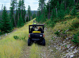 The Black Hills can be roughly broken up into three areas. The northern area (around Lead & Deadwood) is a mix of forested trails and interconnecting forest roads through areas with stark cliffs and high plateaus featuring incredible overlooks. This area having more private land, with more options for lodging, food and fuel. Popular sights include Custer Peak Lookout, Forest Road 222.3 out of Savoy, and many hidden overlooks on the trails above Cheyenne Crossing.
Trails in the southern hills area (Custer & Hill City) quickly become remote. Routes out of the Ditch Creek trailhead, for example, require riders to be self-sufficient for each day’s outing. More open and spread out than the north, this area features a mix of forested trails, high hills (some up to 7,000 feet), plus large open pastures with cattle grazing in the summer months. Some overlooks rival the sights of the north. Grand Vista Overlook, Flag Mountain, and the Sand Cave are a few of the popular sights.
The central hills area (Riley Hill Trailhead/Rochford) features smoother, forested trails on lower hills with occasional small pastures and a few scattered services. The riding is well suited to riders wishing to avoid the rocky areas of the north but not as confident in the navigational skill needed in the larger areas of the south.
ATV trail riding in the Black Hills of South Dakota provides unbelievable sights seen in few other places in the country.
Wildlife
Wildlife is a constant sight. Eagles, hawks, turkeys, whitetail and mule deer are common. More elusive are elk, bighorn sheep, and mountain goats. Late spring through early fall, cattle are frequent as are fences, with the rule being, leave the gates as you found them. If it’s closed, close it behind you and if it’s open, leave it open. Riders need to exercise caution as not all fences or gates crossing trails are well marked with reflectors. Conveniently, many gates have dedicated ATV cattle crossings that accommodate UTVs.
Permits
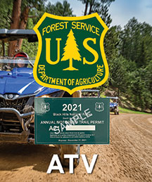 Two permits are required to ride in the Black Hills: a “Black Hills Motor Vehicle Permit” from the U.S Forest Service (USFS), and a South Dakota temporary ATV license.
The Forest Service permit is similar to trail permits needed in other states but allows access to the more remote trails; available online or at authorized retailers. The South Dakota license can be best described as a temporary paper license plate for motorcycles but with restrictions for ATVs. For those new to the process it can be confusing, but the staff at the Custer County Treasurer (local DMV office) is very helpful. Even if riding other parts of the Black Hills, order the South Dakota license though Custer County or other counties to simplify trip planning. The South Dakota license makes the ATV a Highway Licensed Vehicle to allow riding on most state roads and forest roads only open to Highway Licensed Vehicles. This greatly simplifies getting between destinations or making those unexpected navigational corrections.
Trip Planning & Navigation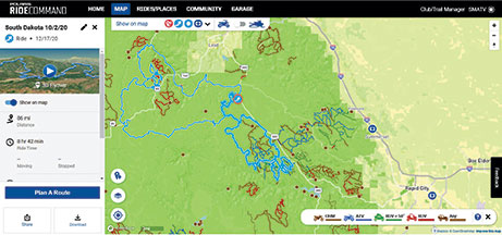
To help with trip planning and navigation on the trail, well maintained paper maps are available through the USFS and many retailers in the area. Geo-indexed versions are available for free on the Avenza app through their map store. Search for “Black Hills NF” and “MVUM” in the district being ridden. Polaris’s Ride Command is well maintained for the area but make sure to download maps to the device because data service in the forest is sporadic at best. For GPS units that accept KML format (Garmin and others), the Forest Service has maps available on their Black Hills website. A paper map should always be carried as a backup in case of device failure.
Weather
The rapid changes in altitude can bring quickly changing weather with large temperature swings and storms appearing several hours ahead of forecast. Even during periods of drought, carrying rain gear is a must. The end of June through Labor Day can be hot and dry while snow is possible May through early June and any time after Labor Day. In general, clothing should be layered as it’s not unusual to need to add or remove clothing on every trail break.
Don’t miss out
If you haven’t considered planning a destination trip to the Black Hills, you’re missing out on over 600 miles of dedicated and well-maintained ATV trails…and some incredible scenery.
To see more photos and videos of the South Metro ride, visit the club’s Facebook page. For more information on ride planning, vehicle requirements, and to purchase permits online, go to www.blackhillsbadlands.com.